Mumbai Flipbook / media
Causeway tide map
Visual evidence / second click
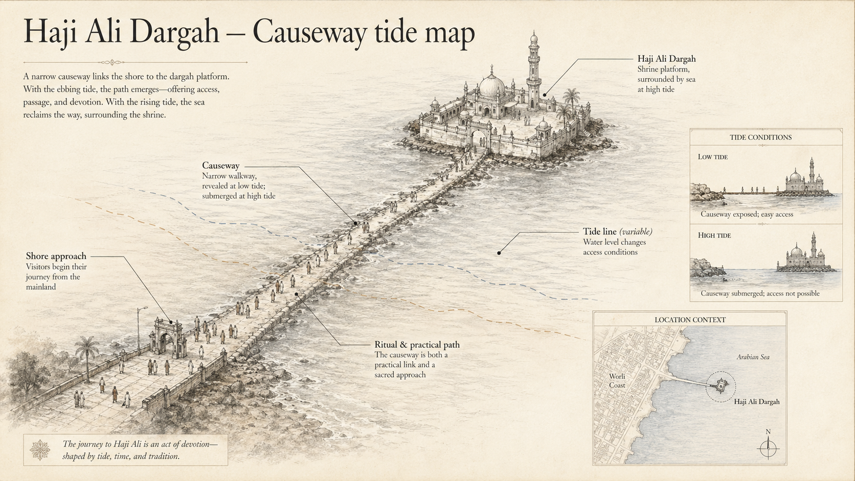
Causeway tide map deep plate for Haji Ali Dargah. It should show a map diagram of coast, causeway, shrine platform, tide line, and visitor approach. Required factual anchors: the causeway links shore to shrine; tide level changes access conditions; the route is both practical path and ritual approach.